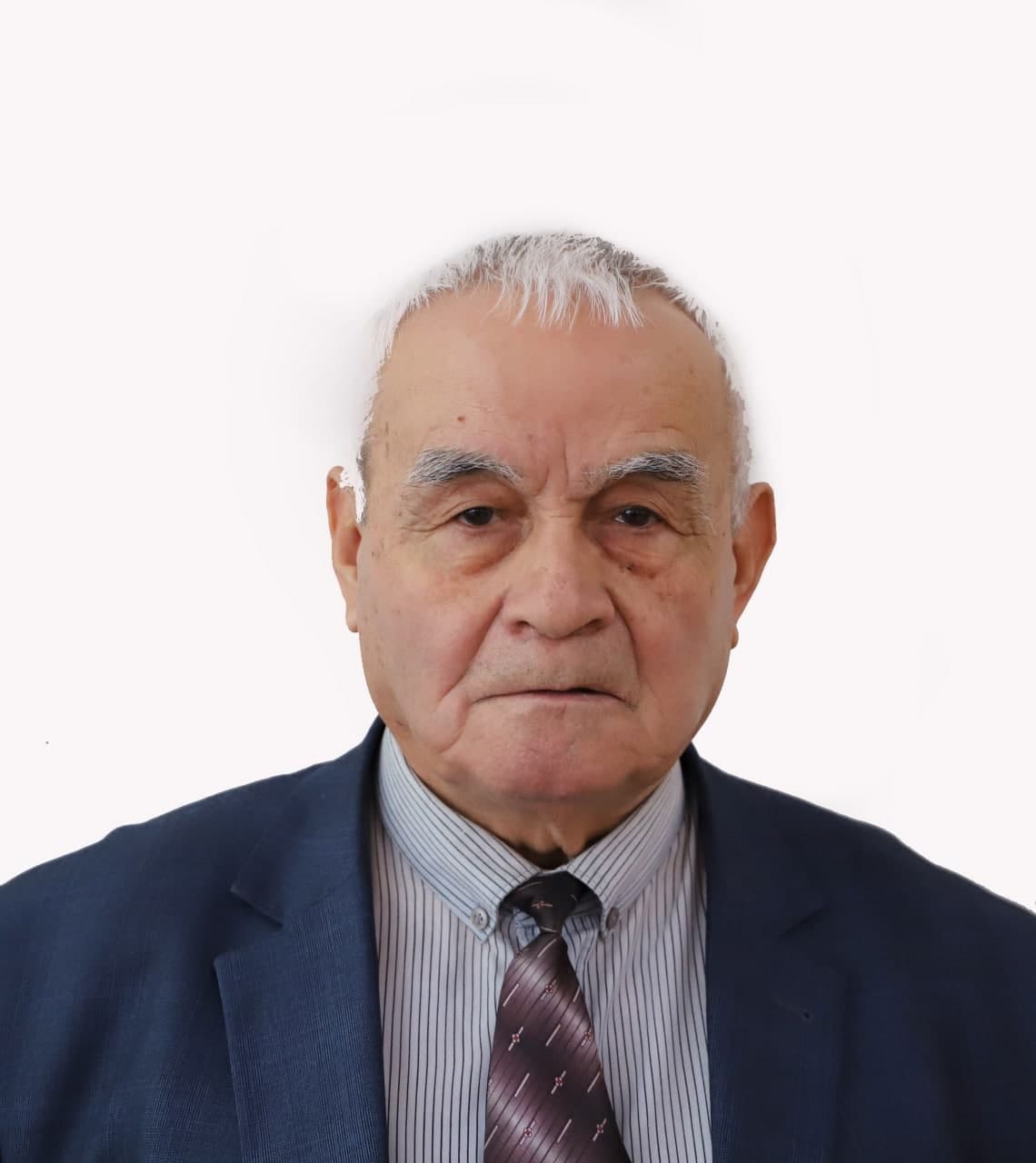
Author: Nosirov, Baxtiyorjon Ixtiyorjonovich
Annotation: This article is devoted to the study of the importance, methods and practical possibilities of remote sensing and spatial mapping of atmospheric pollution. The article describes the processes of detecting pollutants in the air, assessing their concentration and analyzing changes over time using satellites and other remote sensing technologies. The possibilities of spatial mapping and territorial analysis of the collected data using GIS programs are also considered. The results of the study are of practical importance in making decisions on environmental monitoring, air quality management and sustainable environmental development.
Keywords: Atmospheric pollution, remote sensing, spatial mapping, satellite observation, GIS, air quality monitoring, environmental control, pollutants, sustainable development.
Pages in journal: 53 - 57


